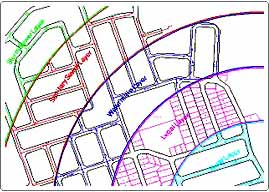
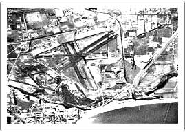
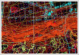
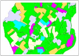
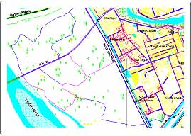
Geographic Information System (GIS)


| The best way to demonstrate our expertise is to show you our work. The portfolio will give you an inside look on the ideas and creativity we bring to the projects we develop. Click any of the categories below to explore our Portfolio.
|