Contour Mapping

What are Contours?
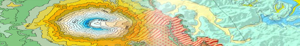
Contour lines connect a series of points of equal elevation and are used to illustrate topography, or relief, on a map. They show the height of ground above Mean Sea Level (M.S.L.) in either feet or metres and can be drawn at any desired interval. For example, numerous contour lines that are close together indicate hilly or mountainous terrain; when far apart, they represent a gentler slope
Contour Mapping
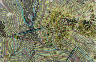
Topographic maps use contour lines to indicate the shape and elevation of these landscape features because it is difficult, as we have already discovered, to show three-dimensional objects, like hills and valleys, on a two-dimensional surface, like a map. Contour lines are lines that connect the location of equal measures of elevation.