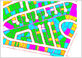
Parcel Mapping


One of the most important components of a Geographic Information System (GIS) is an accurate map delineating land parcel ownership. Many states have strict requirements for this mapping, as an accurate cadastral map is commonly a primary tool in the assessment of land values for tax purposes. In a digital format and linked to an assessment database, the GIS user can quickly query a variety of features. The quality of this mapping affects the confidence the user has in analysis results. Good decisions are based on good data.
A “parcel map” is a legal mechanism to subdivide real property into smaller parcels. In certain circumstances, there is a limit to the number of parcels that can be created by using the parcel map process. Typically, a maximum of four (4) residential parcels can be created with a parcel map. Consequently, the required improvements to the infrastructure are considerably less than that required of larger projects.
The parcel map process is typically used by landowners who are not “developers,” but who happen to have a large piece of property and desire to create smaller parcels. A landowner can only use the parcel map process once, in most circumstances, otherwise future divisions of the same or adjacent property by the same property owner will require a tract map
The cadastral map has four main purposes:
- Provides a cartographic record of official and sometimes private land surveys and subdivisions.
- Facilitates the administration and transfer of Crown Lands.
- Records land ownership.
- Assists in the valuation and taxation of land